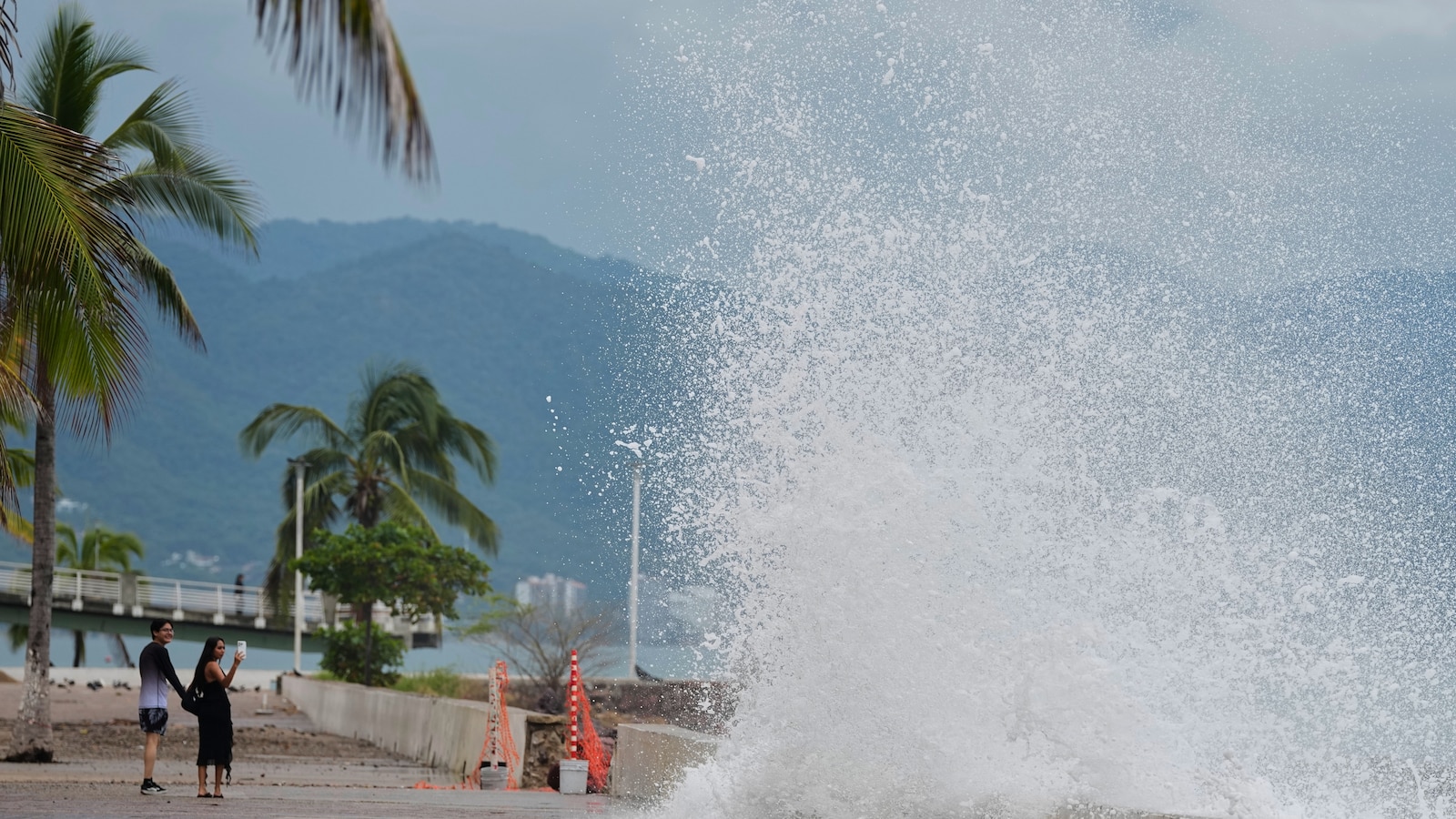
Hurricane Simon pounded Mexico's Pacific coast on Sunday as a major hurricane, its eye remaining just offshore as powerful winds and heavy rain battered people living between the Sierra Madre mountains and the ocean.
According to the U.S. National Hurricane Center in Miami, Simon's maximum sustained winds ranged from 115–120 mph late Sunday, though sources differ on whether the storm reached Category 4 strength at some point during its approach. The storm's eye was moving northwest at approximately 5–6 mph and was positioned about 45–110 miles south of Cabo Corrientes, the westernmost tip of mainland Mexico. Hurricane-force winds extended outward up to 15 miles from the center, while tropical-storm-force winds reached up to 60 miles, meaning the entire region between Mexico's western coast and the Sierra Madre mountains faced significant impacts.
The hurricane posed an acute threat to Puerto Vallarta, a major tourist destination in Jalisco state, where the most damaging winds and rain were expected to arrive around midnight Sunday and continue through Monday morning. Just inland and uphill from resort areas, many Mexican residents live in communities with housing that may not withstand the storm's force. A senior hurricane center specialist, Philippe Papin, identified Cabo Corrientes as the area most likely to experience a direct hit. "We're expecting catastrophic wind and life-threatening storm surge impacts along that west-central coast of Mexico where the hurricane warning is currently in effect," Papin said. "They're also getting very heavy rainfall associated with the storm that's likely going to produce life-threatening flooding and mudslides in areas of higher terrain along the Mexican coastline, and there will be significant swells."
The National Hurricane Center forecast Simon would dump an additional 2–4 inches of rain across Colima, Jalisco, Nayarit, and Sinaloa through early Thursday, with some areas receiving up to 8 inches. Isolated rainfall totals of 30 inches were possible in parts of Michoacan, Colima, and Jalisco, creating severe flooding and mudslide risks particularly in steep terrain. Dangerous storm surge and large destructive waves were also expected along the immediate coast.
Mexican authorities took extensive precautions ahead of the storm. Jalisco state suspended classes on Friday and Monday in 22 coastal municipalities and began evacuating people from high-risk areas, asking the tourism sector to ensure workers and visitors were accommodated in shelters or safe zones. Puerto Vallarta International Airport temporarily closed, and non-essential activities were suspended. National Guard vehicles patrolled Puerto Vallarta's streets on Sunday as police used megaphones to urge the few people outside to take shelter. Mexican President Claudia Sheinbaum posted on social platform X on Sunday, urging residents of Jalisco, Colima, Nayarit, and Michoacan to remain sheltered until the government issued notification that danger had passed. "Precautionary evacuation efforts to safe zones are ongoing; the priority is our safety," she wrote.
On the ground, residents and workers prepared for impact. Hotel worker Víctor Martínez went shopping for nonperishable food Sunday afternoon after public transportation was suspended and his hotel largely evacuated. Martínez reflected on the area's hurricane history, recalling a Category 5 hurricane that struck in 2002. "People didn't expect it. We were very sceptical that it would ever hit us. Now, though, we're different. Precautions are being taken. It happened to us once, and we won't let it happen again," he said. Some tourists remained, including Canadian visitors Ed Currie and his wife, who had five additional days planned in Puerto Vallarta. "Just stay in the hotel and look out the window hopefully," Currie said of their plans. "I just don't know what to expect."
Simon came days after Hurricane Polo struck Mexico's Baja California Peninsula as a Category 2 hurricane, knocking down trees and power poles and flooding streets. The back-to-back storms added to the region's vulnerability and strain on emergency resources.